
Avon Neighbor Records Around One Block
Official sources answer different questions about Avon neighbors. Beacon shows parcel geometry and current property facts. The assessor roll links each parcel to an owner and mailing address. Doxpop adds recorded transfers and plat language. Town permit, code, and notice records describe public events tied to an address, but they do not identify every person living there.
| Source | What it shows about a block | Access |
|---|---|---|
| Beacon GIS | Parcel shapes, identifiers, owners, and map context | Online viewer; assessor fallback |
| Property roll | Owner, situs, mailing address, legal description | Beacon / LOW; county counter |
| Doxpop deeds | Parties, dates, types, plats, and shared legal language | Index online; Recorder for official copies |
| Town permits | Public permit or right-of-way activity by address | iWorQ; Town request |
| Code records | Public complaints, notices, correction, and inspection records | No public case index found; APRA request |
| Neighborhood groups | Subdivision names, civic contacts, meetings, notices | Town links and association sites |
Ownership is not occupancy. A matching mailing and situs address can support an owner-occupancy inference, but it cannot prove who else lives there. Renters, relatives, and guests may not appear. For a sound block picture, label each result as parcel owner, deed party, public contact, or unconfirmed household clue.
Map Avon Neighbors Parcel by Parcel
Open Hendricks County Beacon and search the starting address. The selected polygon is the target parcel. A direct abutter shares a boundary. A parcel across the street is nearby but not adjacent in the strict map sense. That distinction matters on cul-de-sacs, corners, drainage lots, and wide rights-of-way.
- Confirm the target parcel by address, parcel ID, and legal description.
- Note each polygon that shares a boundary with it.
- Click the parcels across the road and label them separately.
- Record the owner, situs address, mailing address, and parcel number.
- Use deeds or public files only when more context is needed.
This creates a small radius around one home. It is not a sweep of an entire road. For the longer address-by-address chain, switch to the Avon street directory.
Note: A shared fence line usually indicates an abutter, while a lot across pavement belongs in a separate across-street group.
Read Avon Parcel Fields With Care
Beacon and the county property system accept owner-name, address, and state-ID searches. A parcel result can contain the owner as recorded, physical address, mailing address, legal description, assessment facts, district, and map position. The retired county search instructions preserve an important local rule: the mailing city follows mail delivery and may not equal the taxing jurisdiction. An Avon-area parcel can display Plainfield or Indianapolis in that field.
- Parcel
- A mapped unit of land with its own county identifier.
- Situs address
- The physical location assigned to the parcel.
- Mailing address
- The destination for owner or tax mail, which may be elsewhere.
- Plat
- A recorded drawing that lays out lots, streets, and easements in a subdivision.
Use the legal description and parcel number when address labels conflict. The owner name alone is not enough, especially when common names occur more than once in Hendricks County.
Compare Deeds Across an Avon Block
The Hendricks recorded-document index can show whether nearby parcels share subdivision, lot, plat, or transfer language. Search a confirmed owner as a party, choose Hendricks as the region, and compare the document date, type, parties, and legal description. The index begins in January 1964, and scanned images begin in January 1975. Earlier or image-only questions go to the Recorder in Danville by counter, phone, or mail.
Common plat language can explain why several homes receive the same public hearing notice or share an easement. It does not establish that owners belong to an association. Doxpop says its database is not the official record, so obtain the recorded image or Recorder copy before relying on exact restrictions or boundaries. Keep one worksheet row per parcel. This prevents a deed for one lot from being assigned to a neighbor's lot.
Avon's Recognized Neighborhood Layer
The Town's recognized neighborhoods page links four named groups: Stratford of Avon, The Groves of Beechwood Farms, The Settlement/Centex, and Timber Bend. These names help connect a parcel map to local civic geography. No public membership roster was verified. Treat association pages as sources for contact, meeting, notice, and development context, not as proof that a named person lives at an address.
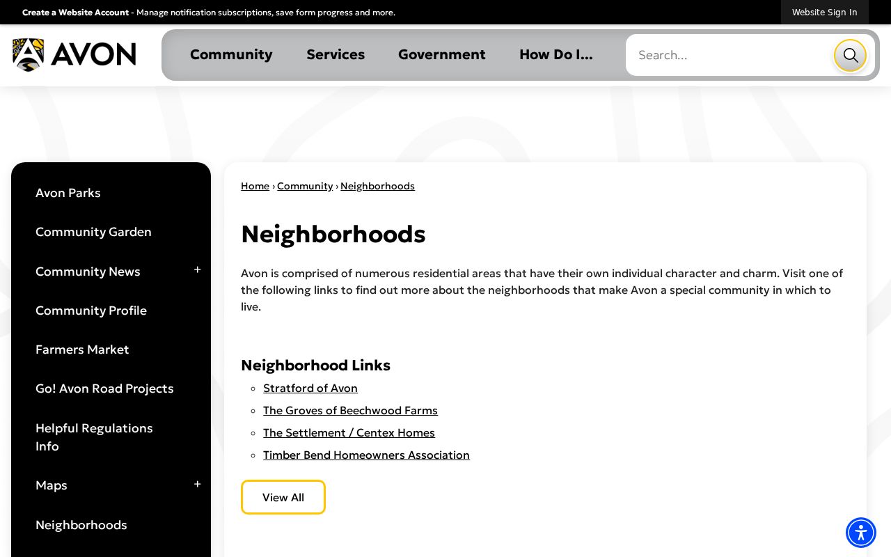
The Town list gives a verified starting point for community contacts without inventing household membership.
Stratford of Avon
Town-linked neighborhood group. Check its own contact and notice rules.
Groves of Beechwood Farms
Town-linked civic source for subdivision context and notices.
Settlement / Centex
Town-linked neighborhood resource; no open resident directory was found.
Timber Bend
Town-linked association source for public community information.
How Avon Civic Notices Reach Neighbors
Avon's Council of Neighborhoods ordinance recognizes more than standard subdivisions. A civic association may cover a single unplatted street or a set of adjacent streets. Research on the ordinance found a 50 percent signature rule for certification. The Unified Development Ordinance also lets registered neighborhood or HOA groups receive certain permit and public-hearing notices.
This system explains why the best neighborhood source may be a civic contact rather than a private directory. Ask the Town which association is registered for the parcel's area and what notices are public. The Avon municipal staff directory routes questions by department, name, phone, and email.
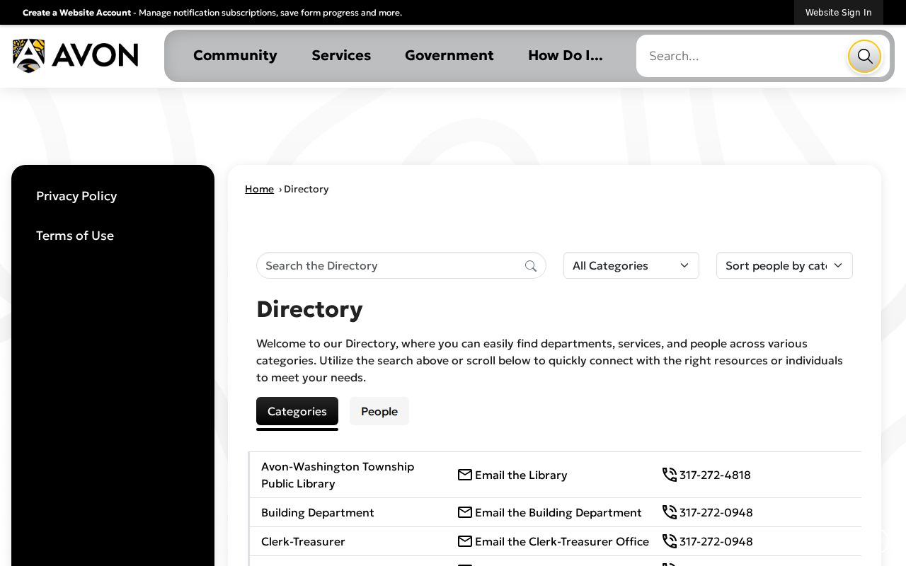
The staff directory helps route a parcel, notice, or association question to the right office without treating Town employees as neighborhood residents.
Avon Permits Add Block Context
The Avon iWorQ portal handles municipal requests for fences, signs, buildings, rights-of-way, driveways, reroofs, and decks. Its status route uses a request number and email or contact details. It is a submission and status system, not a public browseable list of everyone on a block.
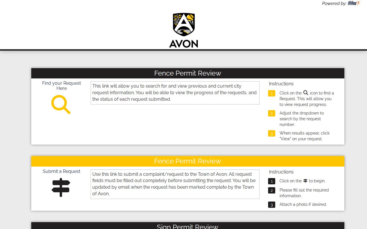
The portal shows which request channels exist. For a public record not exposed there, identify the exact address, permit kind, and date range in a Town records request.
The Avon Code Enforcement page explains complaints, notices, correction, inspection, zoning, and code procedure. No public case index was located. Use an Indiana Access to Public Records Act request through the Town Clerk-Treasurer for a specific public file, subject to lawful redactions.
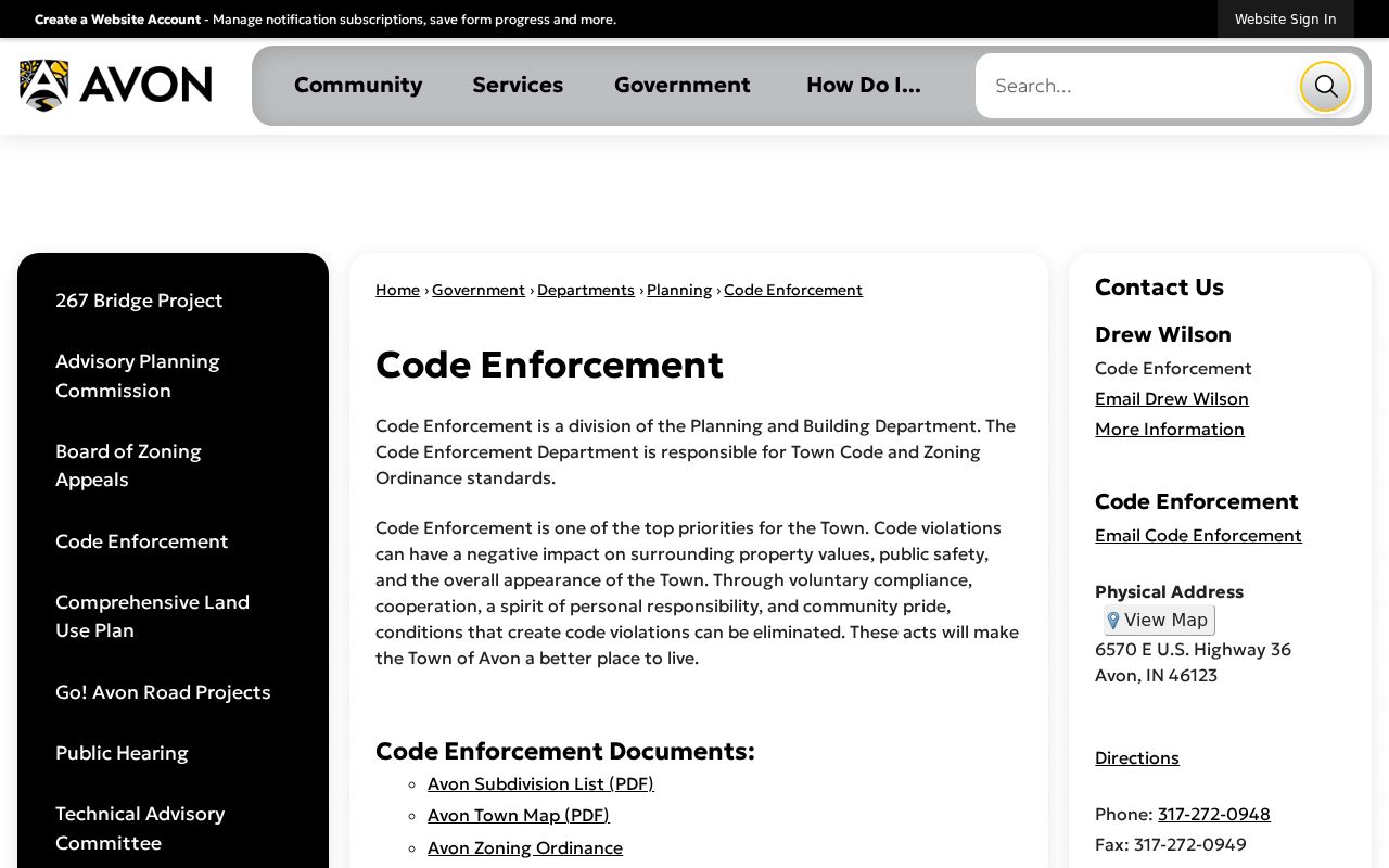
The page establishes the enforcement process, while the custodian decides what a request may disclose.
Voter Data Is Not an Avon Roster
The Indiana Voters portal validates a submitted person's registration, polling place, ballot or provisional status, and county contacts. It does not publish an unrestricted neighbor list. Some registration affidavits may be inspected under Indiana Code 3-7-27-12, but identifying numbers and protected categories are withheld. Full-file requests use the current state form and are subject to statutory limits.
Indiana's Address Confidentiality Program gives qualifying participants a substitute address and protects actual voter information. A separate assessor-address restriction applies to certain protected groups in the property database. State guidance says these are distinct systems. Do not assume that a restriction in one database reveals or changes the status of the other, and never try to reconstruct a protected address from parcel or group clues.
Official Rolls Versus Neighbor Tools
Commercial neighbor tools combine data from many sources, may charge for access, and can lag behind recorded changes. Official sources are narrower but show the custodian, date, parcel, instrument, or request trail. Neither type proves every occupant. Use a commercial result only as an unverified clue, then return to the public record that can support the fact.
| Point | Official Avon or county record | Commercial compilation |
|---|---|---|
| Source | Named custodian and record series | Often merged from several feeds |
| Best use | Parcel, owner, deed, permit, or public notice | Possible lead requiring confirmation |
| Update clue | Assessment, recording, or filing date | May not explain freshness |
| Correction | Contact the record custodian | Use the provider's privacy process |
Lawful use. Look up Avon neighbors for civic curiosity, reconnecting, or personal safety awareness. Do not watch, threaten, expose, or harass anyone, and leave protected addresses alone.
Privacy Limits for Avon Neighbors
A parcel map shows land and an assessed owner. It does not reveal all residents, phone records, utility accounts, delivery data, private group membership, or daily activity. A deed party may have transferred the parcel years ago. A permit contact may be a contractor or agent. A voter search requires a submitted match and remains subject to redaction and confidentiality.
When a portal fails, use the narrow fallback: assessor staff for a parcel field, Recorder staff for an instrument, the Clerk-Treasurer for a Town file, an association's public contact for civic notices, or the library for historical context. State the parcel, record type, and date range. Narrow requests are easier to route and less likely to sweep in unrelated personal details.
Note: A public owner name is not a license to infer family ties, private routines, or membership in a neighborhood group.