
Avon Previous-Resident Sources by Era
No single roll spans the life of an Avon property. The current parcel card supplies the parcel ID, owner, physical site, mailing address, and legal description. The deed index then carries ownership back through transfers. Archive cards and printed sources bridge gaps before modern systems.
| Source | Years covered | Where held | What it shows |
|---|---|---|---|
| Recorder index and images | Index from Jan. 1964; images from Jan. 1975 | Recorder / Doxpop | Parties, dates, type, deed trail |
| Yellow property cards | 1941-1972 | County Archive | Transfer and assessment clues |
| Blue property cards | 1989-2004 | County Archive | Area, name, key-number cards |
| Printed directories | 1920; selected 1960-1990 years | Indiana State Library | Names, routes, addresses |
| Maps and plats | Maps from 1865; plats from 1880 | Archive and State Library | Roads, lots, subdivisions |
| Probate and wills | Probate from 1825; wills from 1822 | Clerk and archive | Heirs, estates, transfers |
Start recent work online. Older research can require archive scans, the Danville courthouse counter, phone or mail requests, local library help, State Library microfilm, or FamilySearch. Give staff the parcel number, subdivision, lot, township, legal description, years, and known owner names. Those details are far more useful than an address alone.
Begin Avon Address History in Beacon
Hendricks County Beacon is the first stop for a present Avon address. Copy the parcel identifier, owner name exactly as displayed, legal description, district, map position, and both address fields. A situs address is the physical site. The mailing address is where tax mail goes. The county warns that a Plainfield or Indianapolis mailing city does not, by itself, determine the parcel's taxing jurisdiction.
Use the map and legal description to confirm the lot before following a name. Owner names can repeat. Street numbers and postal labels can change. Subdivision and lot language often stays more stable. For current records along a whole road, use the Avon street directory. A previous-resident search needs only the sound identifiers that carry the same property backward.
Note: Copy every part of the legal description because it is the best test when names, road labels, or postal cities change.
Reverse Avon Deeds Owner by Owner
The Doxpop recorded-document search identifies Hendricks instruments by party, region, date, and type. Public results can show document details, county, recording date, instrument type, and party. Index text and document images are separate. Registration, preview, purchase, or a Recorder request may be needed for an image. Doxpop also says its database is not the official record.
- Copy the current owner and legal description from Beacon.
- Find that owner's purchase deed as grantee, the party receiving title.
- Record the grantor, date, instrument number, and matching land description.
- Search that seller as an earlier grantee and repeat the checks.
- At the cutoff, ask for deed books, indexes, or microfilm.
- Grantor
- The party transferring an interest.
- Grantee
- The party receiving an interest.
- Chain of title
- The linked sequence of transfers for the same land.
- Legal description
- The lot, subdivision, section, or bounds language identifying the land.
The Hendricks County Recorder supports counter, phone, mail, and internet service at 355 S Washington Street in Danville, 317-745-9224. Use the office when a scan is absent or an official copy is needed.
Two Cutoffs Shape Avon Deed Research
Doxpop's Hendricks index begins in January 1964, but scanned images begin in January 1975. That gap is easy to miss. A result from the late 1960s may establish that an instrument was indexed without showing the page online. Do not infer the deed terms from a party row. Note its book, page or instrument number, date, type, and parties, then ask the Recorder for the official image.
Earlier work moves to the Hendricks County Archive, Recorder books, and the State Library microfilm inventory. FamilySearch catalogs county deed records from 1825 to 1889 in grantor and grantee groups, though some images require a FamilySearch center or library. These fallback channels keep the trail moving when a web search stops.
Property Cards Bridge Avon Record Eras
Two archive sets connect paper transfers to the modern parcel roll. The yellow property cards cover 1941 through 1972. The blue property cards cover 1989 through 2004 and include Avon subsections. Browse by area, key number, or name as the index permits, then compare the card's property identity with the modern legal description.
Open the Doxpop advanced grantor-grantee search shown here.
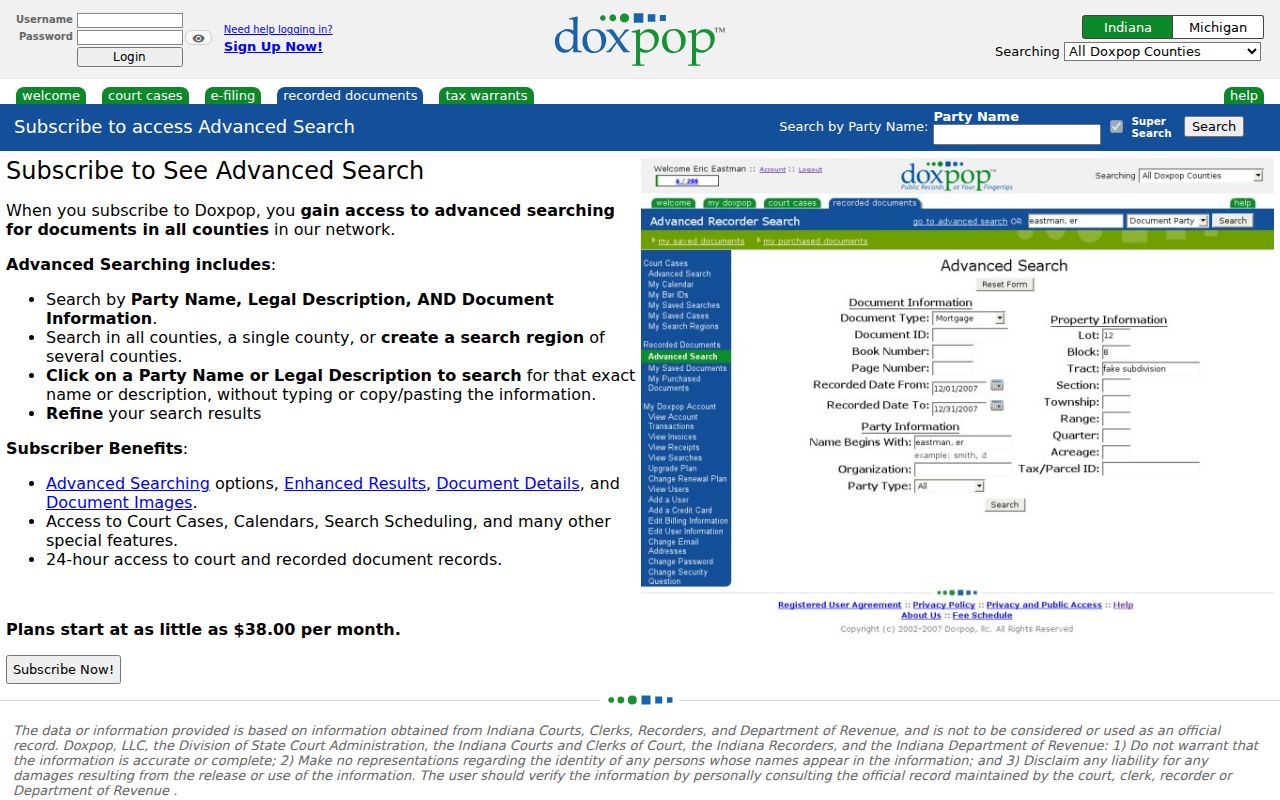
Its separate party, legal-description, and document controls help keep each transfer tied to the correct Avon parcel. The property-card indexes fill years on both sides of the online deed-image cutoff.
The Hendricks yellow-card index shows the earlier transfer-card route.
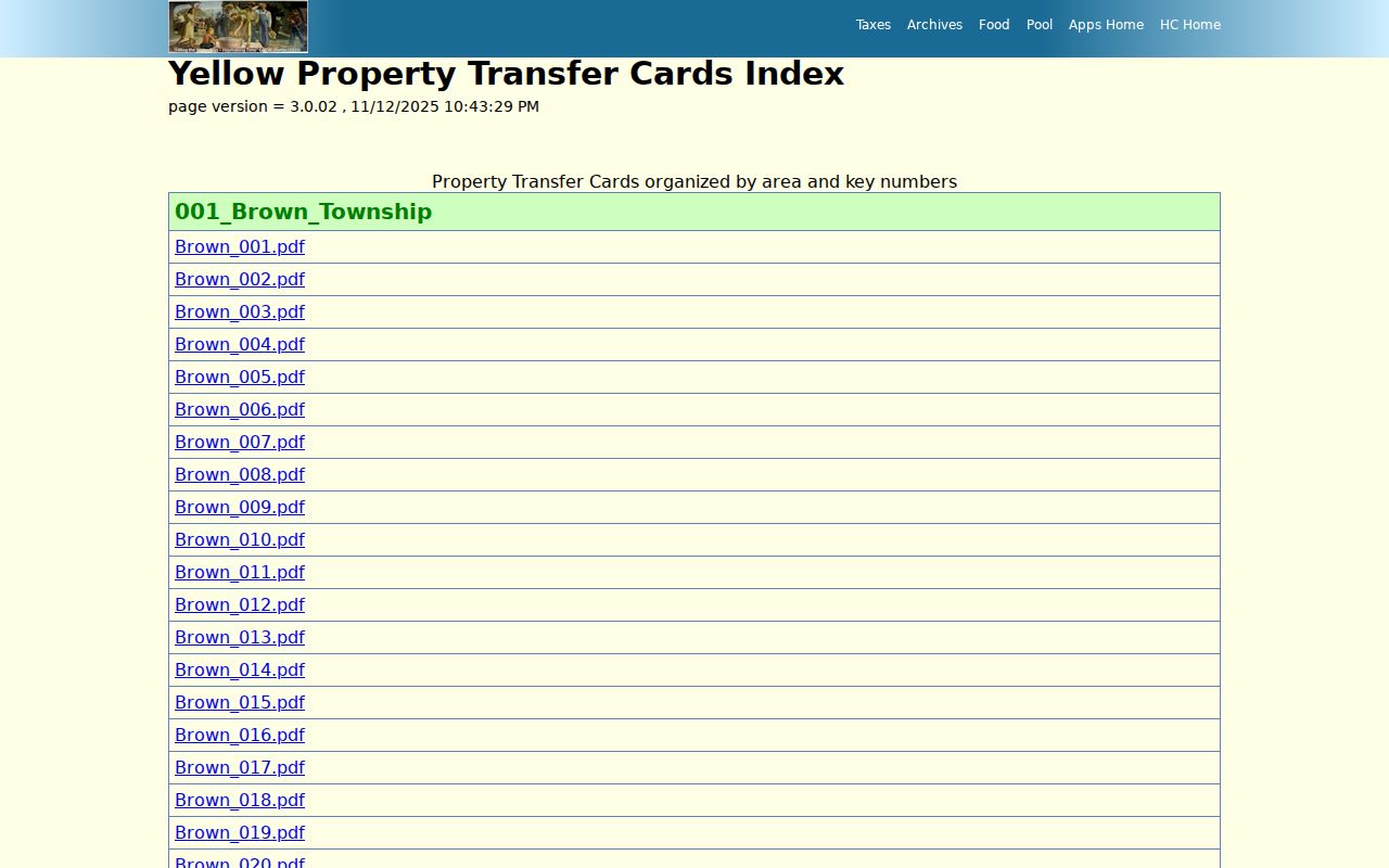
The earlier cards can bridge a parcel trail when an address or owner name falls before modern online coverage.
The Avon blue-card index provides the later archive view pictured below.
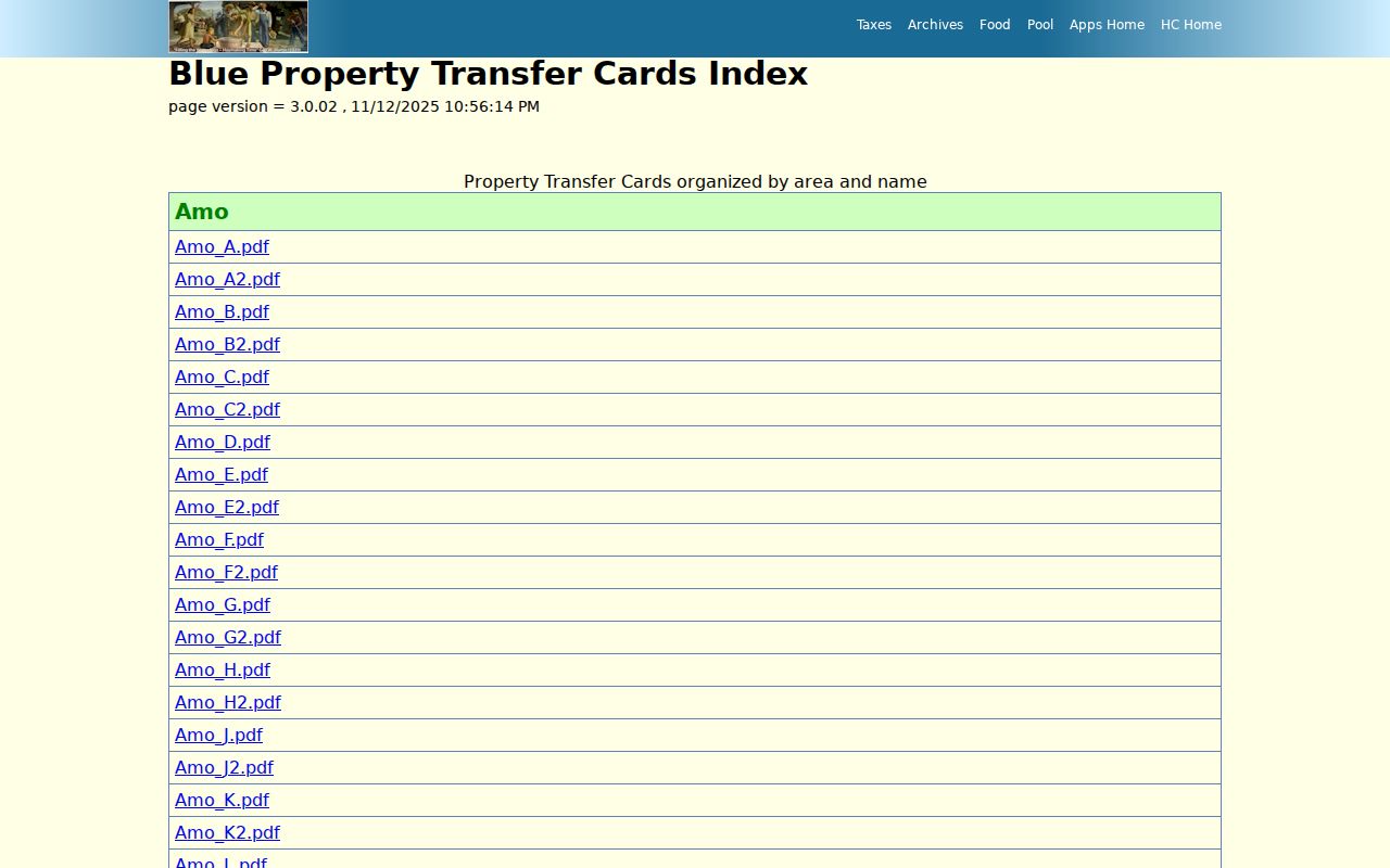
Area and key-number groupings give a second path when an old owner's spelling or street label does not match the current roll.
Pair Avon Directories With Census Years
Deeds identify owners, not all occupants. The official State Library guide lists a 1920 Hendricks County rural directory and selected Robinson directories for Danville and Plainfield from 1960 through 1990. It does not list an Avon-specific printed run. Older Avon households may appear under a township, rural route, postal city, Danville, Plainfield, or another place label.
- Choose a directory year near the deed or property-card date.
- Search the family name, route, former road name, and postal label.
- Copy initials, household notes, address, and symbols exactly.
- Compare the entry with the closest released census schedule.
- Test the household against a deed, obituary, or probate record.
A criss-cross directory lists by street and number rather than surname. No official source confirmed a Hendricks reverse-directory run. Ask the Huron Heritage Room or Danville Public Library Indiana Room instead of assuming one exists. The printed runs themselves belong on the Avon city directory page.
Lawful use. Research past residents for family history, estate work, or the story of a home. Never use address clues to track, intimidate, or harass a living person.
Search Avon Avenue as SR 267
The Town's history says State Road 267 is now Avon Avenue. A deed, map, school paper, or directory may use the highway name while a current parcel uses the newer name. Search both forms, then confirm the match through the parcel, legal description, nearby road, or subdivision. This is a local road-name problem, not proof that a record is missing.
County historical maps start in 1865 and plat books in 1880. The Indiana State Library property-research guide explains how plats, atlases, deeds, and Sanborn maps fit a house history. No Avon Sanborn sheet was confirmed; the nearest located Hendricks example was Danville.
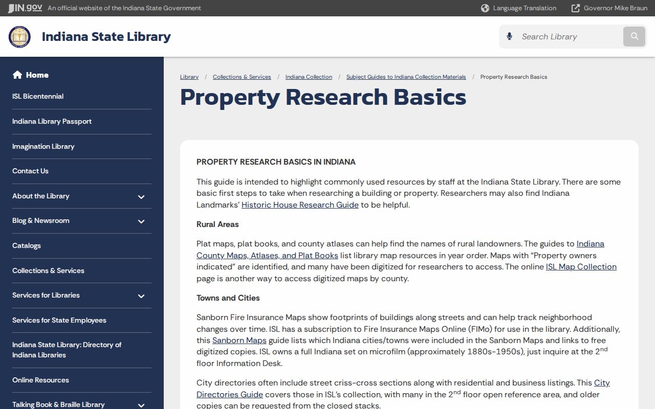
The illustrated research path is useful for Avon, but it should not be read as evidence that each house appears on a fire-insurance map.
Avon Previous Residents in Local Memory
The Huron Heritage Room at Avon-Washington Township Library, 498 N Avon Avenue, is the local memory stop. Reported holdings include yearbooks, maps, deeds, oral histories, photos, ledgers, family papers, newspapers, and school or community records. Call 317-272-4818 and ask about address files, telephone books, obituary indexes, access, and copy rules. Not every collection has an online index.
The Danville Public Library Indiana Room adds land, court, cemetery, church, newspaper, and family sources, with limited staff genealogy help. The county archive, museum, and State Library extend that chain. Each place holds a different layer, so a library answer should be cited with its collection and date rather than treated as a substitute for an official deed.
Close an Avon Household Trail
The Conkle Funeral Home Avon archive offers a local obituary browse and search route. Avon also identifies Abner Creek, Barlow, Gossett, North Lawn, and Salem township cemeteries. An obituary can provide relatives, a former address, service place, and cemetery clue. Compare it with county newspapers, the State Library cemetery locator, and official death or probate records.
County wills begin in 1822 and probate material in 1825. The Clerk is the fallback for files not online or restricted. An estate deed can explain a final transfer, while a probate record may name heirs. Names, dates, parcel language, and case identifiers should agree before a previous-resident chain is considered sound.
Note: An obituary is a lead, not a certified land, death, or probate record; verify each legal fact with the responsible custodian.